I’m clearly following a local. Tourists buy OBX stickers to show their love for the Outer Banks; folks who live here go for the 12.
The small, symbolic square represents N.C. Highway 12, the 148-mile, two-lane highway that traverses the entire Outer Banks, running up the state’s northern barrier islands like a spine, skirting along ocean, dunes, sound, and marsh, linking towns and communities and people, while providing access to the islands’ four lighthouses, nearly a dozen museums, and thousands of places to sleep, shop, eat, and play.
To Outer Bankers, the road is more than pavement and paint, more than a means to an end.
It is the iconic road to freedom. The path to reclining beach chairs, coconut-scented sunscreen, and crab cake dinners. The uncomplicated straight shot to the best surf breaks, the secret and not-so-secret fishing holes, the duck blinds and boat ramps, the secluded beaches and wide open spaces that put us at ease. It’s the passage that takes us close to the edge and beyond the mainstream.
I drive a carpool of children to a preschool on N.C. 12, and every day we pull off at one spot on the road and roll down the windows to see what the ocean looks like that day — calm or choppy, blue or green or brown, birds or no birds — and see if we can smell the salt air. Often, there’s somebody else there, usually a surfer, checking the waves as well. It’s like this for many people on N.C. 12 — the scenery helps us pay attention to nature, to live more in the moment while we’re doing our everyday things.
Meanwhile, to residents of Corolla, Duck, and Hatteras and Ocracoke islands, N.C. 12 is not just a place for happy getaways; it’s the only way to get supplies in, to get off-island for necessary services, and the only escape route ahead of a hurricane or in the doldrums of winter.
“That highway might be a fun highway for some people, but it’s my lifeline,” says Ricky Tillett, an Ocracoke native who works for the North Carolina Department of Transportation’s Ferry Division on Ocracoke Island. “The highway changes depending on who’s using it; I might be headed up that highway to the doctor, while someone else might be headed the other way on vacation.”
Traveling N.C. 12 is a uniquely Outer Banks experience. Where else in North Carolina can you find a highway that is divided by water and linked by two ferries and two humpbacked bridges? Where else can you see the ocean on one side of the road and the sound on the other — at the same time? Where else do the dunes topple over into the road when the northeast winds blow? Where else do inlets form across a highway? Where else does a state highway dead-end onto a sandy beach with the breaking waves only feet beyond?
The south end of N.C. 12 is in Sea Level in Carteret County. The north end is in Corolla in Currituck County. Each stretch in between is distinct in geography and character.
• • •
On the often overlooked southern end of the beach road is Cedar Island. It has one only store, Island’s Choice Variety Store. Sherman Goodwin owns it.
“There ain’t a whole lot on our end of N.C. 12,” he says.
But then the homegrown store owner proceeds to list all there is to do on his native Cedar Island: horseback riding, a campground on the beach, a restaurant and a motel, fishing, soundside beaches, four boat ramps, hiking, and kayaking in the Cedar Island refuge. This is a remote place untouched by commercialism, as authentic a Down East experience as you’re going to get.
Starting at a junction with U.S. Highway 70 at the unincorporated rural village of Sea Level, the southern stretch of N.C. 12 runs across the Monroe Gaskill Memorial Bridge that connects the mainland to Cedar Island. Driving over the bridge, you see miles of brackish marsh spread out in the sun. For 12 miles, the road travels through marshlands bordered by canals where herons and egrets fish and ducks paddle. It winds past acres of juniper and pine in Cedar Island National Wildlife Refuge, and then through rural coastal countryside untainted by progress.
You can’t always see the water from the road, but evidence of its proximity is everywhere — boats on blocks, gill nets strung up in yards, stacks of crab pots, small boat landings, a fish house and seafood dealer, and handmade signs advertising waterfront vacation rentals.
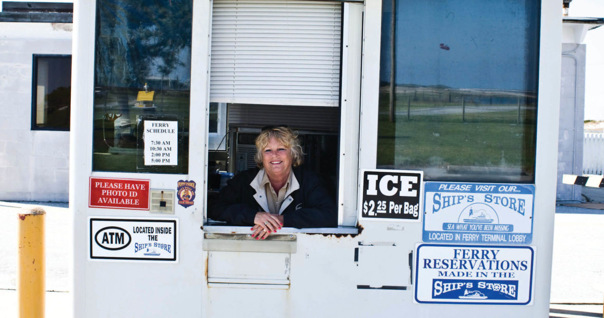
It’s quiet down here, except for a small surge of traffic when the Cedar Island-Ocracoke Island ferry loads and unloads three times a day. Cars line up to wait for the ferry on the dead end of the road, and the Pamlico Sound stretches out beyond. The ride to Ocracoke Island is 23 miles and two hours and 15 minutes long, and the ferry spills its passengers out onto N.C. 12 in the heart of Ocracoke village.
• • •
I got married on a lawn bordering N.C. 12 in Ocracoke, and my favorite memory of the road is looking out a window of the Berkley Castle and seeing my suntanned friends and family walking down N.C. 12 to my wedding.
Here in Ocracoke village, N.C. 12 is a road that almost requires you to walk or bike to get the full experience. It feels more like a lane than a highway.
Past the village, N.C. 12 begins its long foray through the Cape Hatteras National Seashore. Here, one can experience the Outer Banks in an almost-natural state (the oceanfront dunes along the Outer Banks were manmade in the 1930s). On the east side of the road are dunes and windblown scrub and the ocean beyond. On the west are maritime forest, marsh, and Pamlico Sound. The ocean is always near, and the National Park Service offers many opportunities for getting to it with ease. Cars are rare; even in the busy season, vehicles coming off the ferry seem to space out so that the road feels like your own.
One of the striking features of N.C. 12 is most apparent here: It is flat. Unless you count the humpback bridges, the road has no hills. You can see for miles.
The Ocracoke Pony Pens sit along N.C. 12 just beyond the village. The National Park Service penned the horses partially because of N.C. 12. The horses’ ancestors freely roamed the island, but when cars began traversing the island with more regularity in the 1950s, the horses didn’t know to stay out of their way.
Only 16 miles long on Ocracoke Island, N.C. 12 again is broken up by a waterway and a ferry ride. But the Hatteras-Ocracoke Ferry is such a commonplace conveyance for getting to and from Ocracoke, it feels like it’s part of N.C. 12. The 45-minute ferry experience is one of the last free rides left in life.
• • •
Driving home from work one day, Brian Klauser really needed a Jet Ski. His home is in Nags Head. His work — a kiteboarding shop he owns, OceanAir — is in Avon. There are 40 miles between the two, and he drives it without problem almost every day. But one afternoon, in fall of 2009, a storm had come through, washing out N.C. 12 and leaving Klauser stranded.
For five days.
Luckily, he was prepared. “The road had already been temporarily out at the S-turns in Rodanthe during a minor storm a few weeks earlier, so when the big storm was coming, I figured it was going to get washed out pretty bad,” says Klauser. “I needed to work, so I packed a bag and prepared to spend some time there. The road was physically washed out for five days, and no one could get on or off the island.”
Just as Klauser began seriously considering that Jet Ski, transportation officials opened an alternate four-wheel-drive road to the west of the washed-out N.C. 12, and Klauser made his way home.
That experience didn’t leave Klauser feeling like the highway had let him down. “If anything, it makes traveling this road every day more exciting,” he says.
On Hatteras Island, N.C. 12 travels 50 miles through seven small villages (Hatteras village, Frisco, Buxton, Avon, Salvo, Waves, and Rodanthe) and through vast stretches of undeveloped Cape Hatteras National Seashore and Pea Island National Wildlife Refuge, with plenty of wildlife and birds to see. It’s also where the road shows us just how uncomfortably narrow these barrier islands are in some places and how a highway built on a bed of sand is always at risk.
On the north end of Hatteras village is the spot where, during Hurricane Isabel in 2003, the ocean and sound met across the highway, creating an inlet and establishing Hatteras village as its own island. During the Ash Wednesday storm in 1962, an inlet broke through the road between Hatteras village and Avon. The road has been repaired and rerouted. But it’s a reminder of N.C. 12’s vulnerability.
Before the paved roads on the Outer Banks, people drove in sand. They drove on the “inside road” down the center of the island, following in the tire ruts that were made before them. On nicer days, they “rode the wash” along the beach near the surf, bobbling along over sand hills and trying to avoid rushes of tide. Only the hardiest visitors braved these conditions.
When Outer Bankers came to the conclusion that they had to attract tourists to survive, they started building roads. The first paved road on the Outer Banks was in the Nags Head area in the 1930s. The roads on Hatteras and Ocracoke were paved in the 1950s, and the road to Corolla wasn’t paved until the 1980s. The pavement smoothed over the ruggedness of the Outer Banks, but it also helped bring in all the comforts and conveniences and visitors the islanders now depend on.
Not maintaining N.C. 12 is not an option. On Hatteras Island, the task is so daunting, the North Carolina Department of Transportation has a special task force assigned to the highway; bulldozers are permanent fixtures at some “hotspots” along the road, namely the north end of Pea Island and the north end of Rodanthe. Most of the time, the entire road is passable, but in the wrong conditions it becomes as threadbare as thrift-store flannel.
Those who live and work on Hatteras and Ocracoke get used to these challenges, or they move.
Klauser has been driving the road 80 miles a day for 11 years.
“My drive is literally different every single day,” Klauser says. “It’s different on a day-to-day basis. The dunes are different, the birds and wildlife are different, the view of Oregon Inlet is different. Even at night — you’re so removed from any light pollution — the stars are unbelievable. I keep my camera on my front seat.”
• • •
When the road is good, which is most of the time, it seems like every other vehicle on N.C. 12 in Hatteras is headed for adventure — RVs with bicycles bungeed to the back, trucks with rod racks on the back bumper and coolers on the front, vans with surfboards on the roof, pickup trucks with campers on the back, hybrids from Canada stuffed with kiteboarding gear.
The Hatteras Island, Ocracoke Island, and Cedar Island portions of N.C. 12, along with a small stretch on Bodie Island, are included on the Outer Banks National Scenic Byway that was officially designated in October 2009.
“We use a tagline: ‘Weather rules, sometimes tides come up, and winds blow fiercely, but families have lived here for generations. Come visit,’ ” says Mary Helen Goodloe-Murphy, chairman of the Dare County committee that worked with other county committees to get the National Scenic Byway established.
North of Whalebone Junction in Nags Head, N.C. 12 takes on a new persona. More densely developed, the road is lined to the hilt with vacation homes, condos, hotels, restaurants, shops, and sights.
Here, N.C. 12 is not the only road; it’s simply “the beach road,” the slower-paced, 35-mph alternative to U.S. Highway 158, “the bypass.” The bypass is the functional road you take when you’re in a hurry; the beach road is where you slow down and enjoy the ride, where you don’t tailgate or fly into fits of road rage. Every once in a while, someone in a hurry will cut in front of you or pass you. But in the spirit of the beach road, you don’t curse them; you pity them.
Many locals I know won’t even drive on the bypass, preferring the pace of the beach road. Marty Slayton, owner of Cavalier Surf Shop in Nags Head, says she always takes the beach road.
“The beach road has a definite sense of place,” Slayton says. “Driving that road is like knowing where your roots are. It’s the road that feels like home.”
• • •
In Kitty Hawk, you get some nice glimpses of the ocean, and then N.C. 12 veers up to the northern beaches — to Southern Shores, Duck, and the Currituck Outer Banks — and takes on the important role once again as a lifeline, the only road in or out. On the north end, N.C. 12 is set back farther from the ocean and rarely washes out.
Live oaks line the street, allowing just the occasional glimpse of Currituck Sound. The thriving village of Duck pops up on the landscape, the Sanderling makes an appearance, and then with a few dramatic twists and turns, you’re in Currituck County, the last stretch of N.C. 12. The road here has only been paved for 25 years. Before that, this was an isolated beach frontier, and the thousands of impressive homes you see here today were not even yet on paper.
The horses that used to roam the Currituck beaches area also clashed with the cars on the highway, so they were fenced in north of Corolla to protect them from traffic.
Cruising along north of Corolla village, N.C. 12 ends at the edge of nowhere. The paved road gets sandy and then sandier. So you keep going, heading up along the beach toward Swan Beach and Carova, hoping to catch a glimpse of one of those wild horses, trying to imagine the Outer Banks before pavement.
Or you just turn around and go back the way you came.