Three Paddling Trails
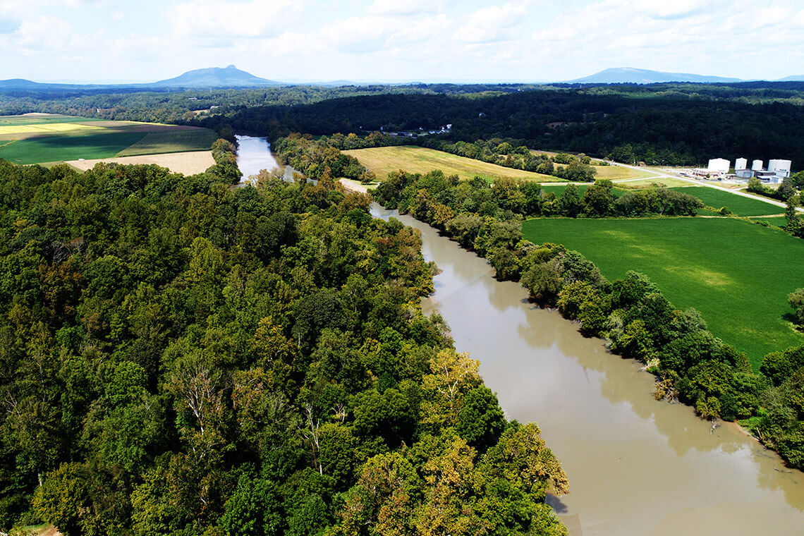
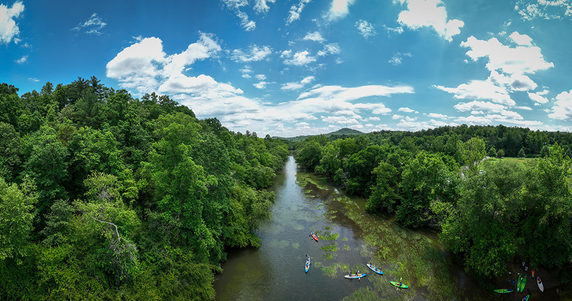
The Yadkin River’s mostly undeveloped banks have earned it the nickname “the hidden river.” photograph by Idris Ahmad/GLiDERinc/iStock/Getty Images Plus
Yadkin River State Trail
Yadkin River
Beneath the surface of the Yadkin River are at least 35 fish weirs — the most in any Southeastern river. These dam-like structures were built from rock by Indigenous people between 500 and 800 years ago to funnel fish downstream into nets or baskets. At low water levels, the weirs create ripples — and, in some places, Class I rapids — on the Yadkin River State Trail. The 130-mile paddle trail begins at the W. Kerr Scott Reservoir in Wilkesboro and flows between Salisbury and Lexington to High Rock Lake. (An additional 30 miles are planned.) The Yadkin runs alongside the town of Elkin and bisects North Wilkesboro and Wilkesboro, but its otherwise mostly undeveloped banks have inspired the nickname “the hidden river.” In these remote areas, cottonwood and sycamore trees stretch their branches over the water, great blue herons nest in noisy rookeries, and belted kingfishers catch minnows with a splash. Near the Great Bend, where the river’s flow changes from west-east to north-south, paddlers can see Pilot Mountain in the distance — another rock formation along the Yadkin that has stood the test of time. — Rebecca Woltz
For more information, visit yadkinriverkeeper.org/yadkin-river-access.
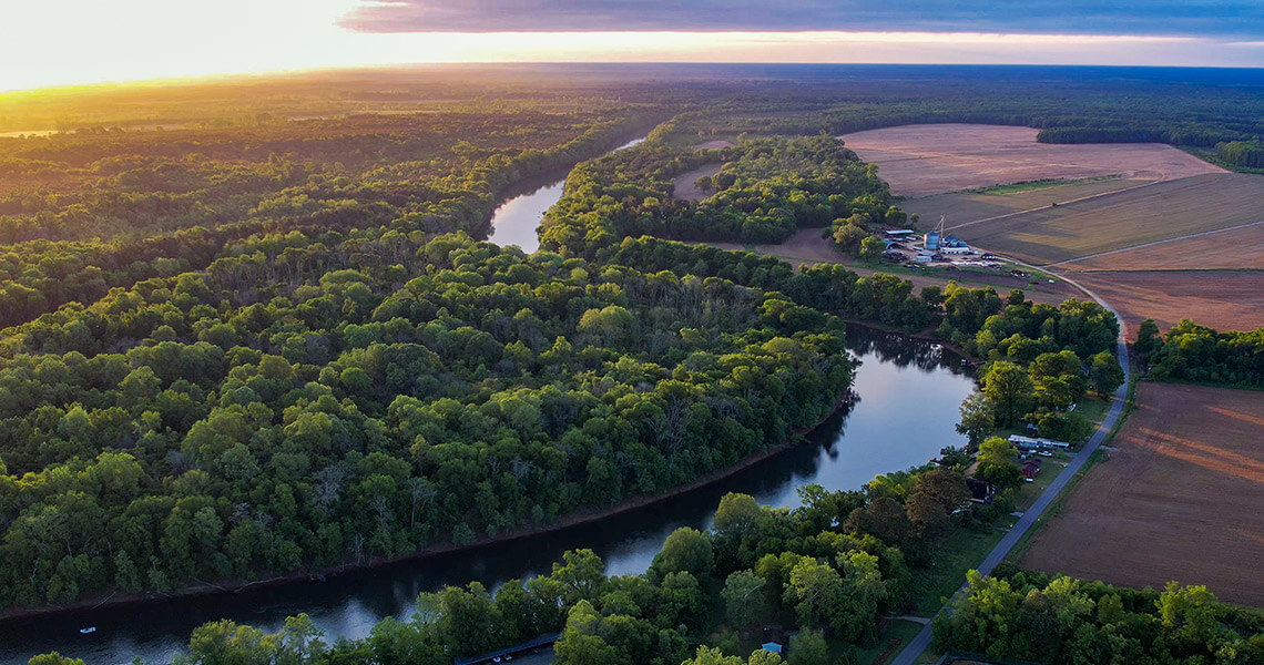
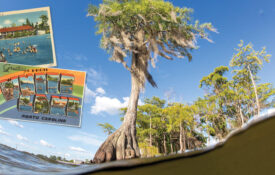
The Roanoke begins in the Blue Ridge Mountains in Virginia and travels more than 400 miles before emptying into Albemarle Sound Photography courtesy of Visit Halifax
Roanoke River State Trail
Roanoke River
The mighty Roanoke River — coursing, curving, and bringing along most of the water that fills the enormous Albemarle-Pamlico sounds’ lagoon and estuary — really is our Amazon. Meandering from the Coastal plain, the Roanoke River fans out through the largest intact bottomland hardwood forest ecosystem east of the Mississippi, traveling more than 400 miles before emptying into Albemarle Sound. To explore this paddling trail, which extends from Weldon to the Albemarle, put your kayak or canoe in for the day, or, for a multi-day paddling journey, roll out your sleeping bag at one of more than a dozen camping platforms along the river built by the Roanoke River Partners. Beneath the ancient bald cypresses and tupelo trees, you can relax on the deck (don’t forget bug spray!) with a beautiful view, or — at some platforms — even cozy up in a screened-in room. Just be sure to keep an eye out for furry friends: The river acts as a natural corridor and is home to black bears, river otters, white-tail deer, bobcats, and beavers, plus more than 200 species of birds. — Katie Schanze
To make a camping platform reservation and for more information, visit roanokeriverpartners.org/river-camping.
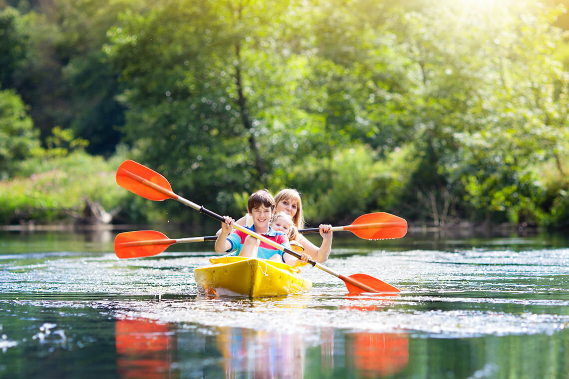
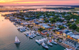
A day of sunshine and good company on the French Broad River is a day well spent. photograph by Idris Ahmad/GLiDERinc/iStock/Getty Images Plus
French Broad River Paddling Trail
French Broad River
Editor’s Note: Click here to check the condition of specific access points along the French Broad River before venturing out.
This mountain paddling trail connects 140 miles of the French Broad River from Rosman to Douglas Lake, Tennessee, with 117 miles in North Carolina. Along the way, dozens of private paddle-in campsites offer a place to rest and recharge. Some sections of the river — particularly the stretch past Asheville in Madison County — feature Class I, II, and III whitewater, and are best suited for more advanced paddlers. But beginners will find wide, flat water near Asheville that’s perfect for a casual trip. For an easy, seven-mile adventure, put in your canoe or kayak at the Bent Creek River and Picnic Area near the North Carolina Arboretum and take out at the Hominy Creek River and Picnic Park. Along your journey, you’ll paddle through the Biltmore Estate and even catch a glimpse of the Biltmore House. Keep paddling to explore the heart of Asheville’s River Arts District from the water; you can then take out at the Craven Street Bridge Access, right across from New Belgium Brewery — where a cold local beer is a perfect reward. — Katie Schanze
For camping reservations, other trip itineraries, and more information, visit frenchbroadpaddle.com.