 Listen as the pages of the magazine come to life in the Storytellers podcast featuring the voices of Our State writers. Each podcast episode features a writer reading their column aloud, allowing each distinct voice to shine. Click below to listen to Eddie read his column aloud.
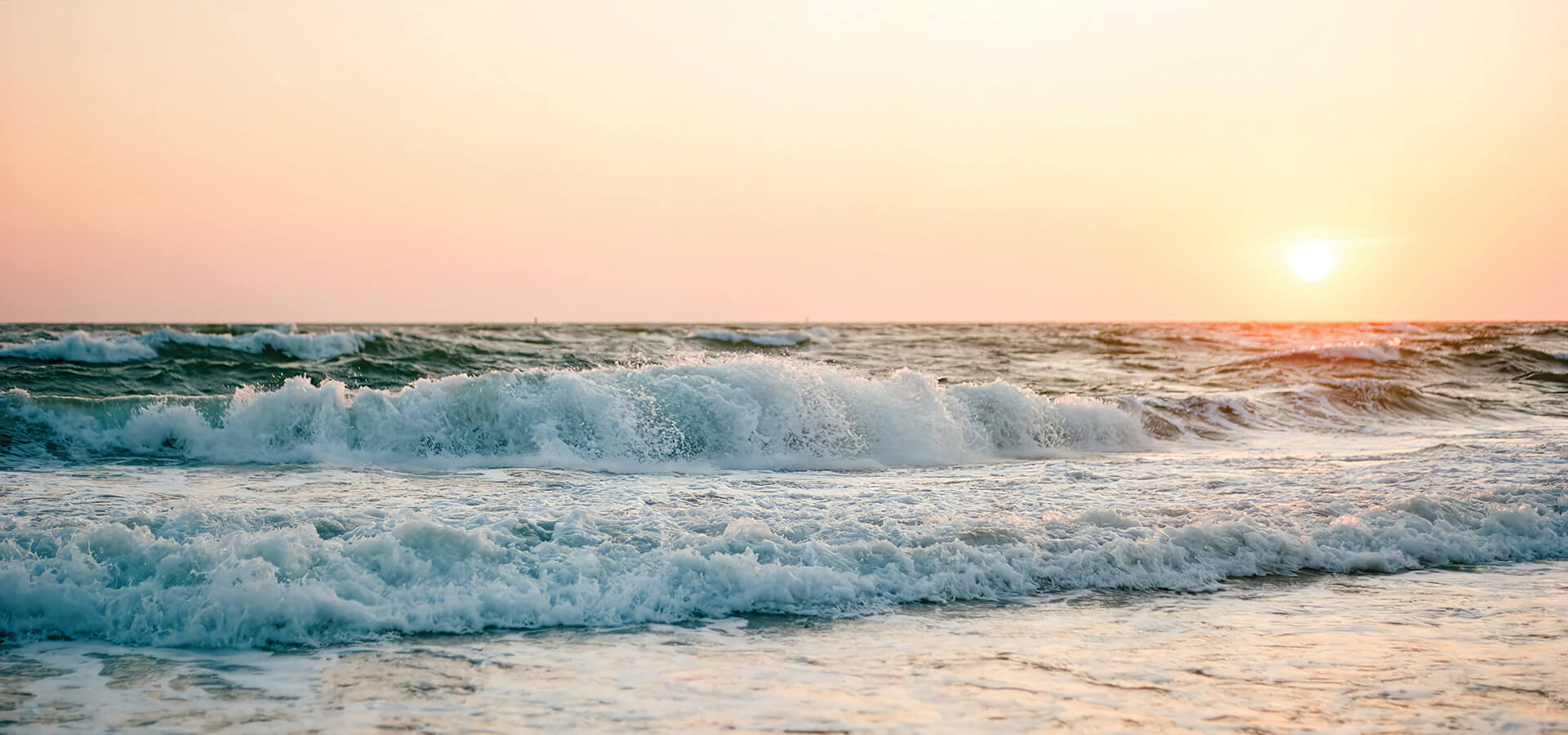
It’s embarrassing to admit just how recently I figured this out. You’d think I’d be a bit savvier. It wasn’t too long ago, however, that I’d stand at the ocean’s edge along Shackleford Banks or Bogue Banks, look out over the sea, and wonder if I could swim to England. Or row to France. Or strike out through the breakers and not stop until I washed up on whatever European beach was straight across the ocean. Portugal, maybe.
It was a slap-your-head moment when I finally put two and two together. I’ve long known, of course, that I don’t look east from the beaches near my place in Morehead City. I look south. But it had never really dawned on me that a journey straight across the Atlantic wouldn’t take me to Merry Olde Britain. From my neck of the sand along the Crystal Coast, I’d wind up in Cuba. Which could create all sorts of problems.
In fact, a straight line due east from much of the North Carolina coast winds up in northern Africa. In Morocco, in fact. Head due east from Kill Devil Hills, and you won’t be eating fish and chips. You’ll pass through the Strait of Gibraltar and end up in the Mediterranean Sea. I’m not saying that would be a bad thing. Just surprising that the northern Outer Banks shares approximately the same latitude as the northern tip of Africa.
Due east of Wilmington? Just north of Casablanca. Who would have thunk it?
This might seem like fifth-grade geography, but it startled me. I place a high value on knowing where I am at all times — knowing where the sun will set and what watershed I’m traveling through, where my feet are planted and what’s around the next creek bend. For Christmas one year, I gave Markie and Jack their own copies of two of the most important works of literature ever published: the most recent editions of the North Carolina Atlas & Gazetteer and the Rand McNally Road Atlas: United States, Canada, Mexico. All these years later, I suspect they could still sell them on Facebook Marketplace as “New & Unused” items, but it’s not for lack of my trying.
• • •
You may think I’m overreacting, but hear me out. These days — and oh, boy, here we go with the “old days” talk — GPS navigation means never having to say, Hey, so sorry I’m late, but I took a wrong turn. GPS on your phone will tell you in a skinny minute how to get from Thomasville or Turkey Knob straight to Timbuktu. Punch it in, and something miraculous happens: Your position pops right up. You are now a quivering little triangle, right there in the middle of the screen.
Which is part of the problem with GPS. When you’re always in the center of things, you never really know where you stand. I look at my smartphone, and I know whether to make a left or a right, but if you were to ask me where, exactly, I am at the moment, I might draw a blank. Even worse is when you give yourself over entirely to the orbiting satellites and follow the turn-by-turn directions without a second thought. I’ve ended up on dead-end streets, the back corners of parking lots, and on country roads that might be a shortcut to somewhere, but nowhere I want to go.
With your feet in the sand and the tide washing over your toes, there’s no escaping the fact that you are rooted in a very specific place.
I’m still as guilty as anyone when it comes to relying on such directional crutches, and that’s why standing on a beach has been so important to me of late. With your feet in the sand and the tide washing over your toes, there’s no escaping the fact that you are rooted in a very specific place. You are on the edge of something — an island, an archipelago. Beyond lies an entirely different reality. You’re not floating around on a screen. You are barely hanging on to a continent. You know exactly where you are.
I need that kind of specificity. Spend a bit of quality time with an atlas or, if you can imagine, an actual globe, and you’d see that the beaches between Cape Lookout and Cape Fear create the western and northern edges of a body of water called Onslow Bay. It’s a giant indentation of the Atlantic shoreline, like a dog took a bite out of the Southeastern coast. Onslow Bay and the smaller indentation west of Cape Fear is the reason why many of our beaches lie on a more east-west plane than on a north-south axis. Those coastal indentations are also the reason the sun rises and sets in a great arc over the ocean along much of Carteret County and the coast of Brunswick County. For much of fall, winter, and spring, we get to see the sun rise and set over the ocean in a single day. That’s pretty cool, right?
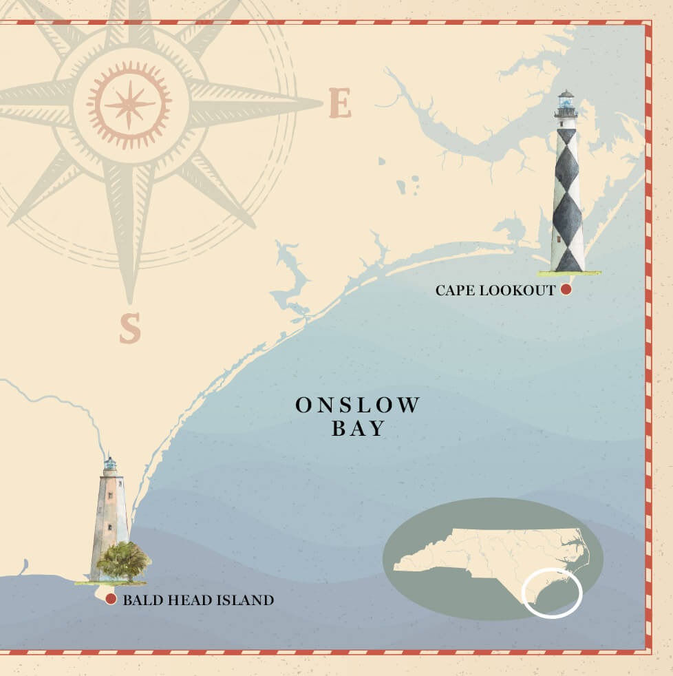
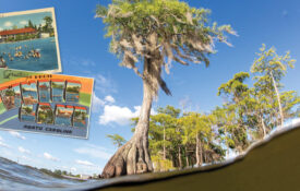
illustration by Robert Steele (Lighthouses); Hey Darlin/DigitalVision Vectors/Getty Images (Map); Stefan_Alfonso/DigitalVision Vectors/Getty Images (Compass)
Not that I’d ever sit on the beach in a single spot for 10 hours. I’d be afraid that my chair might sink deep into the sand, and then deeper still, and keep on going. And you know what would happen then. It’s just like we’ve always been told about digging a big hole on the beach. I’d fall straight through the center of the earth and come out in China, of course.
Except I’d be nowhere close to China. Instead, I’d pop out in the open Indian Ocean, on the far side of the world, about 800 miles west of Perth, Australia. That’s the antipodes of Cape Lookout, North Carolina, the point on the Earth’s surface directly opposite any other point on the Earth’s surface.
Woof. Turns out I’ve been wrong about a lot of things. And that’s why my beach walks have taken a bit of a different tenor now. Looking south, I see the sun arcing across the sky. I can triangulate my exact location by two fixed points: I’m roughly halfway between the Cape Lookout Lighthouse and the Oceanana Pier.
That’s how I know I’m somewhere special: Home, in North Carolina.